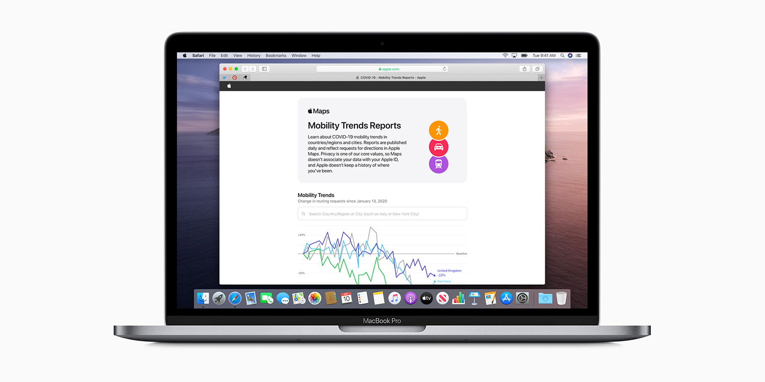

Apple has released a tracking tool based on Apple Maps data, in an attempt to support local governments and health authorities working to curb the spread of COVID-19. The tool shows global “mobility trends” over the past weeks, and it’s an amazing look into how behaviors have changed over the past couple of months.
This data is collated from the number of routing requests Apple Maps receives daily in each region. Compared with the pre-pandemic baseline, driving direction requests are down 41% in the US. Walking is down by 51% and public transport the lowest of all, having experienced a 76% drop-off.
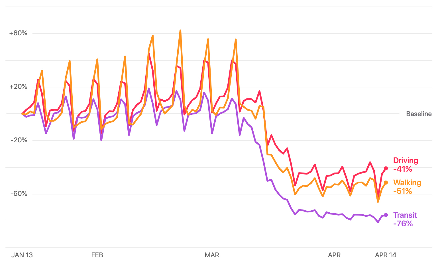
Mobility trends in the US
It’s interesting to see how this data differs around the world – it’s a great visual way to understand the narratives in other countries, based on their response to the pandemic. For example, Italy’s mobility drop-off began several weeks earlier than the US and remains much lower even now. Curiously, the stats for London and New York are almost identical, implying similar responses.
As ever, Apple is keen to stress privacy as a core value, explaining that the data is collected from aggregated anonymized requests. “Maps does not associate mobility data with a user’s Apple ID, and Apple does not keep a history of where a user has been.”
If you’re curious for more, head over to the Mobility Trends tool and type in your city or country for localized reports.
This isn’t the only way Apple is using big data to help with current world issues – it recently partnered with Google on a groundbreaking contact-tracing technology due for release next month.