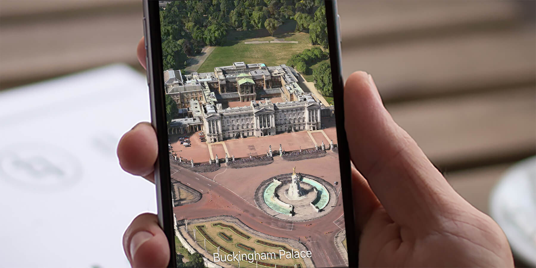

Some major cities around the world have full 3D imagery that you can view up close in Maps. To access it, switch to Hybrid or Satellite view by tapping the ‘i‘ and choosing either option.
Return to the map and zoom in on a major city, such as London, New York, or Paris. When you get close enough slide up on the screen with two fingers to change the view.
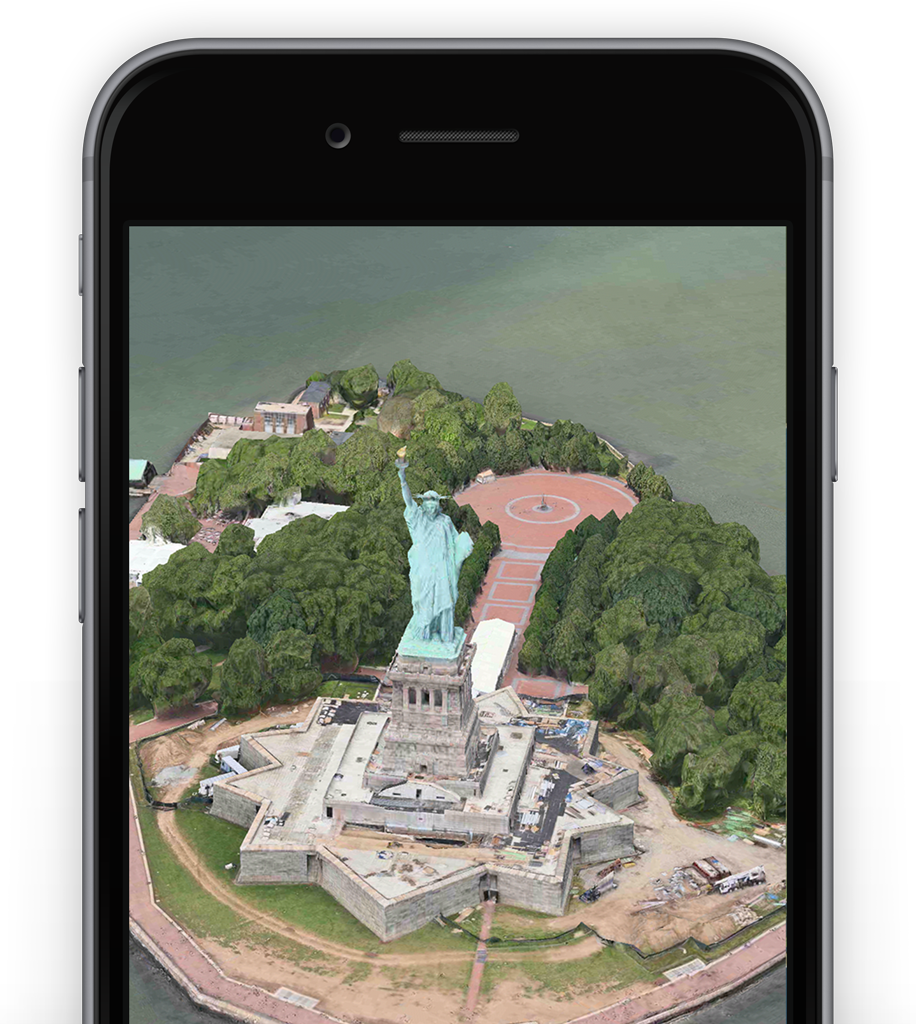
Flyover tour
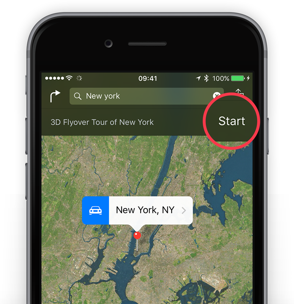
Some major cities allow you to tour the sites using Flyover. For example, if you search for New York and tap on the result you’ll see the option to start a Flyover tour appear at the top of the screen.
Tap this to see famous NYC sights. It’s just like having your very own helicopter tour!
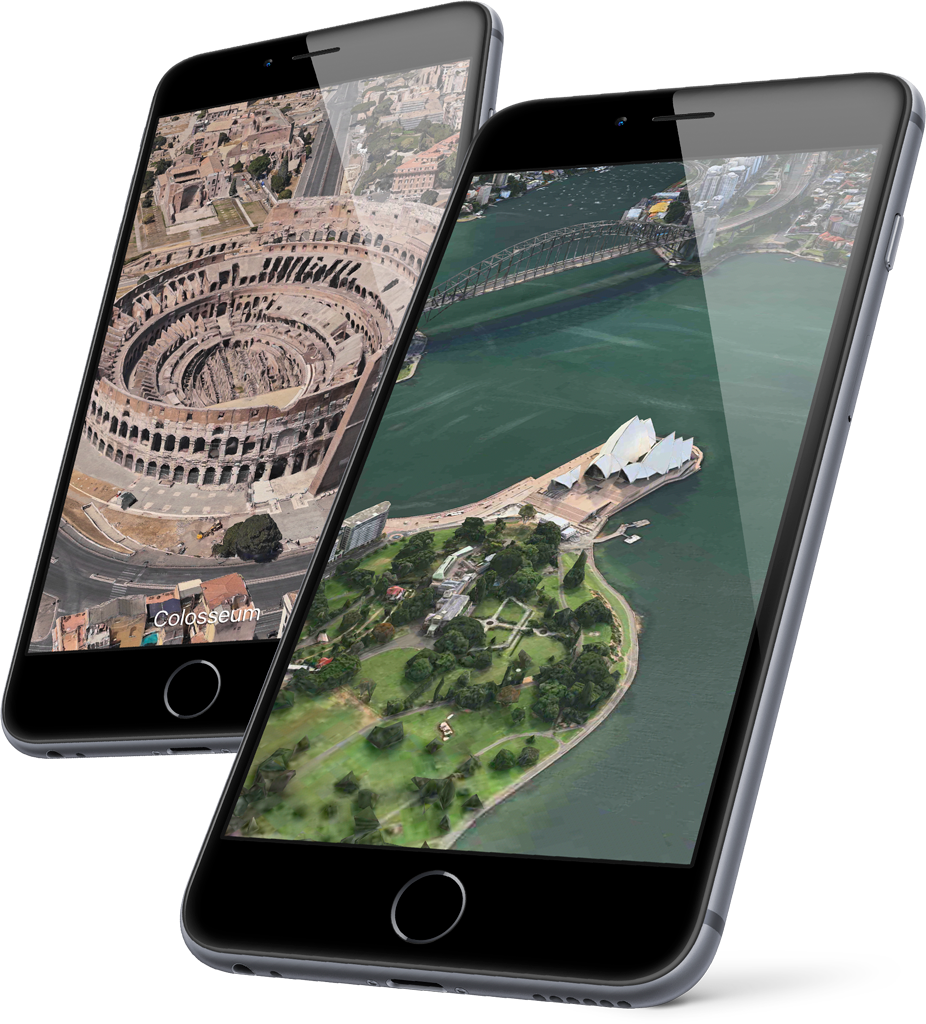
Flyover views are available for cities like Paris, Rome, San Francisco, Chicago, Las Vegas, Los Angeles, and many more. Find a full list of supported cities here.
Night and day
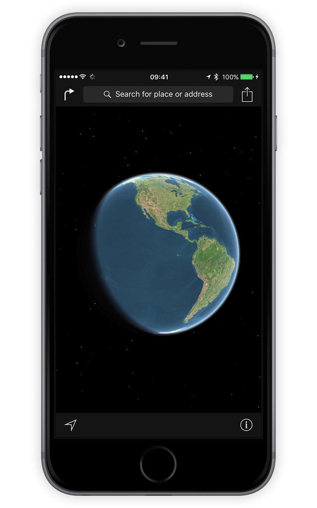
While still in Hybrid or Satellite view it’s also worth zooming all the way out so that you can see the whole Earth. If you rotate the globe you’ll be able to see the line between sunrise and sunset, known as the terminator line, which updates throughout the day.