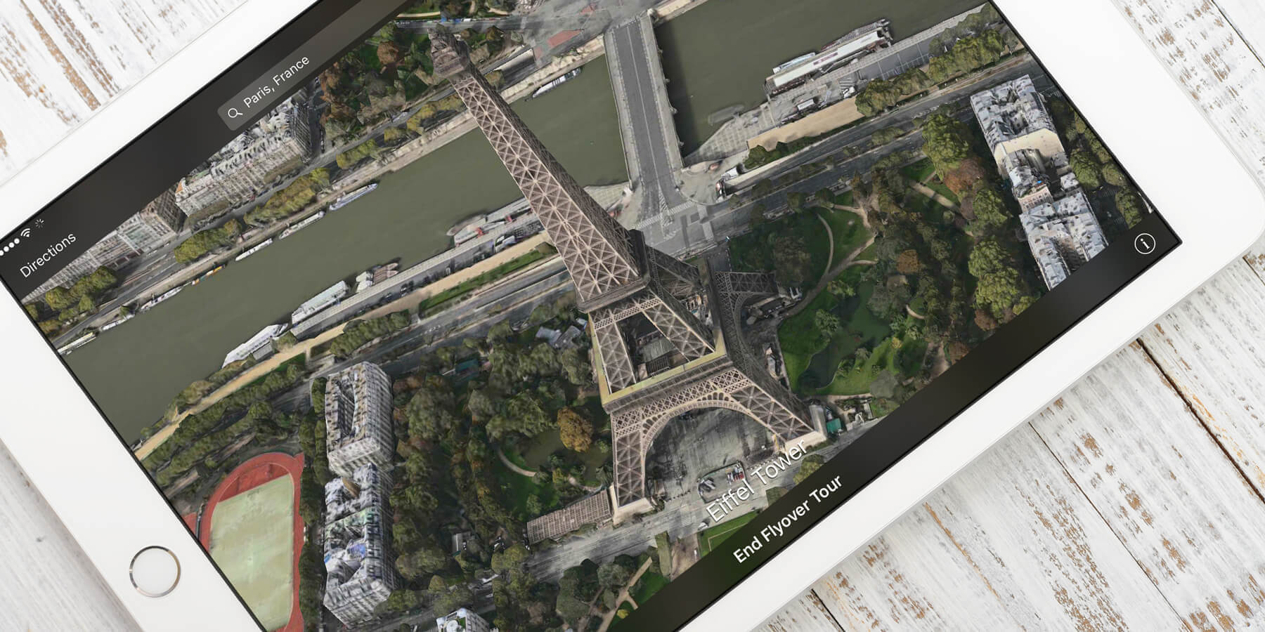

Some major cities around the world have full 3D imagery that you can view up close in Maps. To access it, switch to Satellite view by tapping the ‘i‘ and choosing Satellite.
Return to the map and zoom in on a major city, such as London, New York, or Paris. When you get close enough slide up on the screen with two fingers to change the viewing angle. You’ll be able to see all the buildings modeled in 3D! Pan around as usual by dragging with one finger, or swipe down with two fingers to return to an overhead view.
Some major cities allow you to tour the sites using Flyover. For example, if you search for New York and tap on the result you will see the words ‘3D Flyover Tour of New York’ appear at the top of the screen. Tap Start to see famous sites in that city using the Flyover view. It’s just like having your own helicopter tour!