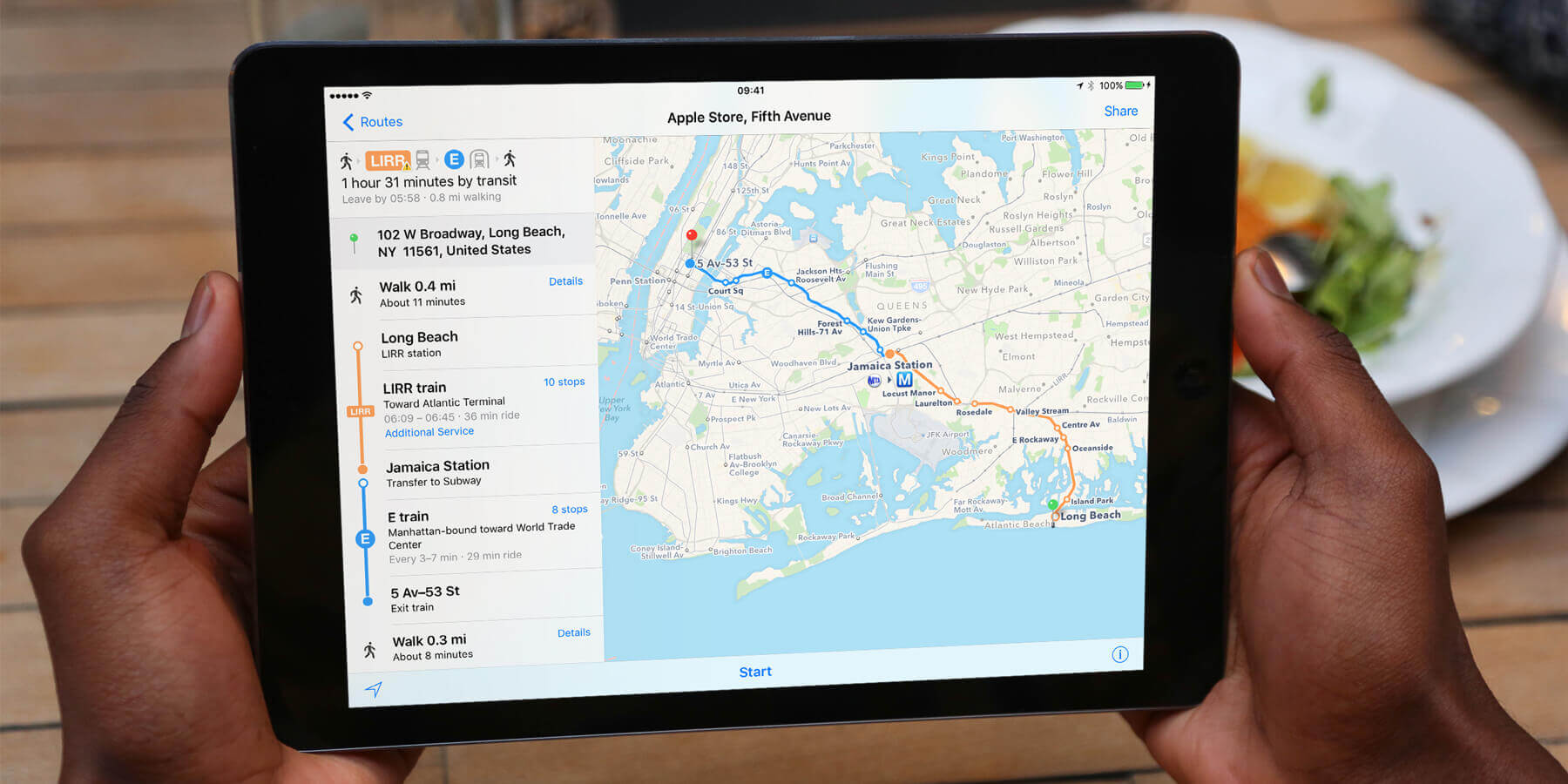
In iOS 9, one of the biggest improvements to the Maps app is the inclusion of transit directions for public transport. As well as standard driving and walking directions, there is support for trains, buses and underground systems.
To use the Transit feature, open Maps and use the search bar at the top to find a destination as usual. Once chosen, you location will be represented on the map by a pin and an address bubble. Tap this to get details on the location and then look for the Directions button.
If the app has had time to calculate routes in the background, it will display icons and predicted times for different travel types, just to the left of the Directions button. You can tap the [icon name=”train” class=”” unprefixed_class=””] icon to launch straight into public transport mode. Alternatively just tap the word Directions and the select the Transport tab once the map has reappeared.
The map will display a suggested route, which you can begin by tapping Start at the bottom of the screen. You can also press More Routes for a few other options, if you prefer a particular bus route for example.
Once started, the directions proceed on the map in a similar way to the more familiar walking and driving directions. You can tap the list icon along the bottom for a step-by-step written guide to every part of the journey. This is useful to check for specific subway stations or bus numbers.
If part of your journey is on the underground, Maps displays an x-ray cut-through view of the station so you know where to walk to find the correct route once you get down there.
Currently transit directions are only available in selected big cities such as New York, Toronto and London.

