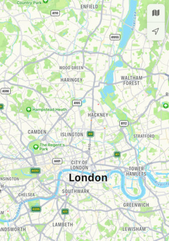
The Maps app lets you see any traffic problems on a planned route. Tap the “i” icon in the top right and toggle the Traffic option on.
This reveals traffic data on the map. An orange line indicates that there is some traffic, while a red line indicates severe traffic on the route.
Symbols show the location of roadworks and road or lane closures as well.
Maps in iOS 14 also includes support for cities with congestion zones, such as London and Paris. It will now show congestion tolls on the map, and thus can help you avoid them.


