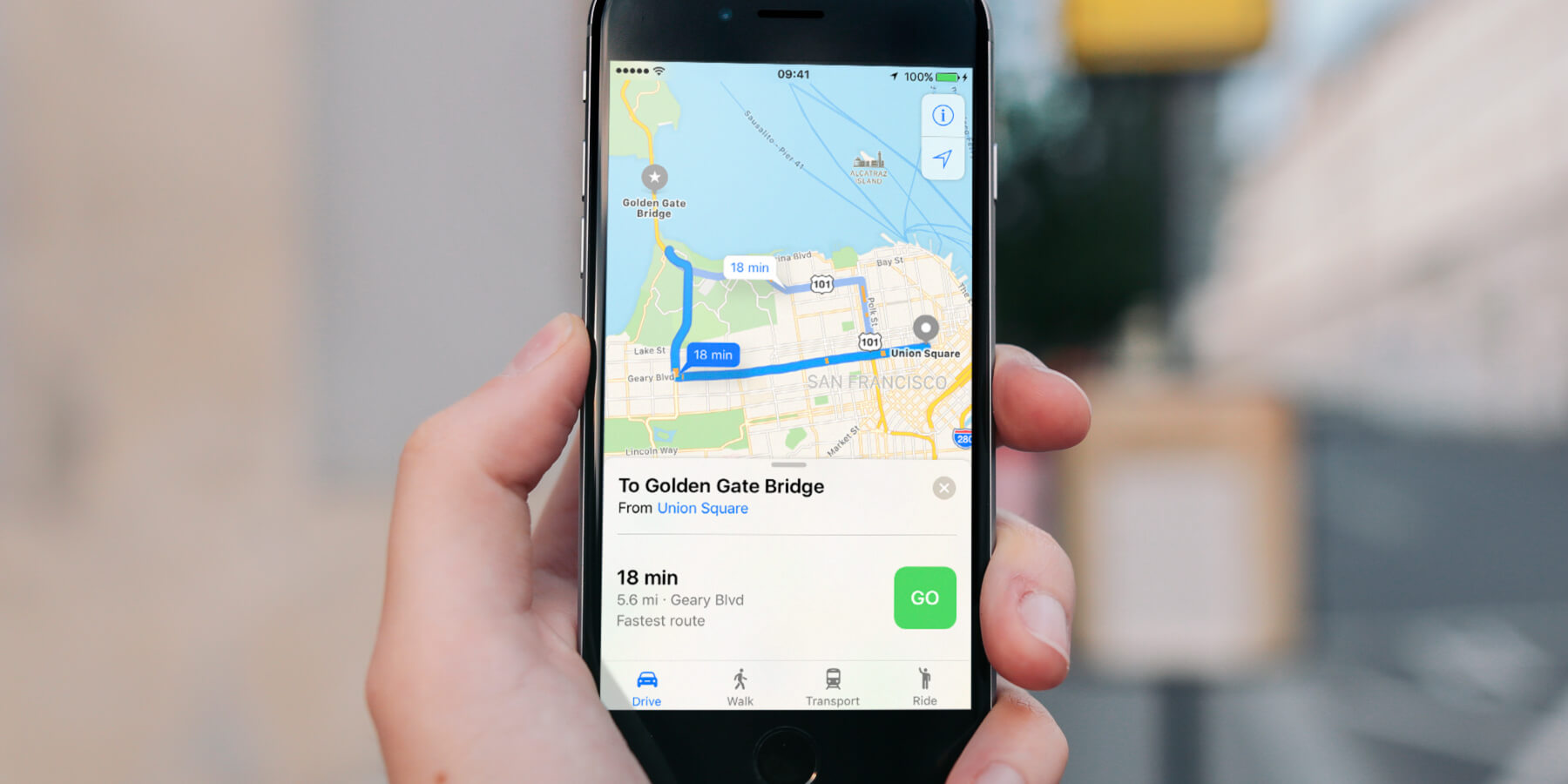
Maps includes support for trains, buses, and subway systems. Load up a destination, hit Directions, and then tap Transport to be given transit directions via public transport. Hit the GO button next to your preferred route to start step-by-step directions.
If part of your journey is on the underground, Maps displays an x-ray cut-through view of the station so you know where to walk to find the correct route once you get down there.
Transit directions are available in an increasing number of cities. Apple is adding support for more cities all the time, so if you can’t access them yet, keep checking!

